Barnes: Ranelagh Avenue
Introduction
The photograph on this page of Barnes: Ranelagh Avenue by Dr Neil Clifton as part of the Geograph project.
The Geograph project started in 2005 with the aim of publishing, organising and preserving representative images for every square kilometre of Great Britain, Ireland and the Isle of Man.

There are currently over 7.5m images from over 14,400 individuals and you can help contribute to the project by visiting https://www.geograph.org.uk
Barnes: Ranelagh Avenue
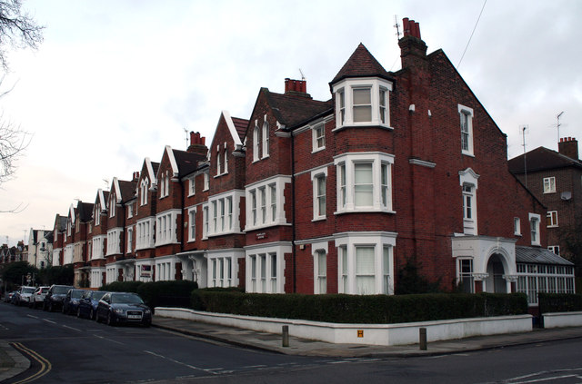
Image: © Dr Neil Clifton Taken: 8 Jan 2013
Looking west from its junction with Rocks Lane. These substantial houses, once family homes, are now subdivided into flats.
Images are licensed for reuse under creativecommons.org/licenses/by-sa/2.0
Image Location
Latitude
51.471781
Longitude
-0.23752