Path junction on Lon Las Cymru between Abercynon and Cilfynydd
Introduction
The photograph on this page of Path junction on Lon Las Cymru between Abercynon and Cilfynydd by John Light as part of the Geograph project.
The Geograph project started in 2005 with the aim of publishing, organising and preserving representative images for every square kilometre of Great Britain, Ireland and the Isle of Man.

There are currently over 7.5m images from over 14,400 individuals and you can help contribute to the project by visiting https://www.geograph.org.uk
Path junction on Lon Las Cymru between Abercynon and Cilfynydd
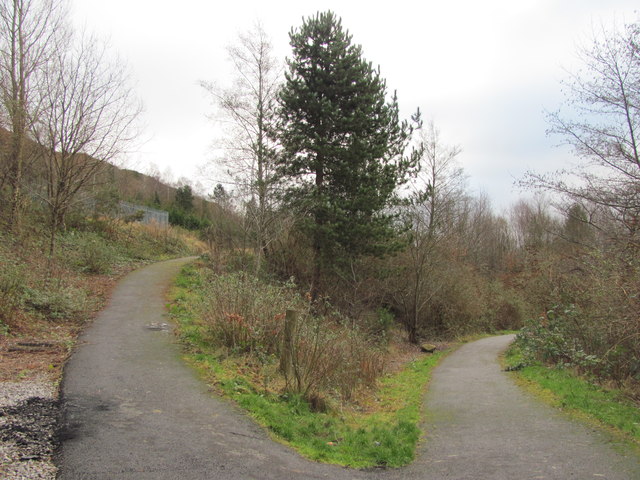
Image: © John Light Taken: 4 Jan 2013
The left hand fork heads uphill towards Navigation Park. The right hand fork keeps on Lon Las Cymru towards Cilfynydd.
Images are licensed for reuse under creativecommons.org/licenses/by-sa/2.0
Image Location
Latitude
51.639611
Longitude
-3.329122