Horsenden House
Introduction
The photograph on this page of Horsenden House by David Hawgood as part of the Geograph project.
The Geograph project started in 2005 with the aim of publishing, organising and preserving representative images for every square kilometre of Great Britain, Ireland and the Isle of Man.

There are currently over 7.5m images from over 14,400 individuals and you can help contribute to the project by visiting https://www.geograph.org.uk
Horsenden House
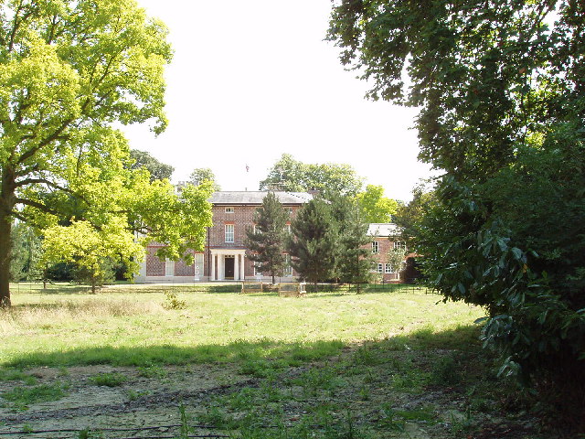
Image: © David Hawgood Taken: 2 Aug 2005
Taken from the churchyard. "Magna Britannia" of 1806 says of this house: "In the civil war of the 17th century, being then the property of Sir John Denham, the manor-house was garrisoned for the king".
Images are licensed for reuse under creativecommons.org/licenses/by-sa/2.0
Image Location
Latitude
51.718587
Longitude
-0.852172