Mallaig: looking over the church and the harbour
Introduction
The photograph on this page of Mallaig: looking over the church and the harbour by Chris Downer as part of the Geograph project.
The Geograph project started in 2005 with the aim of publishing, organising and preserving representative images for every square kilometre of Great Britain, Ireland and the Isle of Man.

There are currently over 7.5m images from over 14,400 individuals and you can help contribute to the project by visiting https://www.geograph.org.uk
Mallaig: looking over the church and the harbour
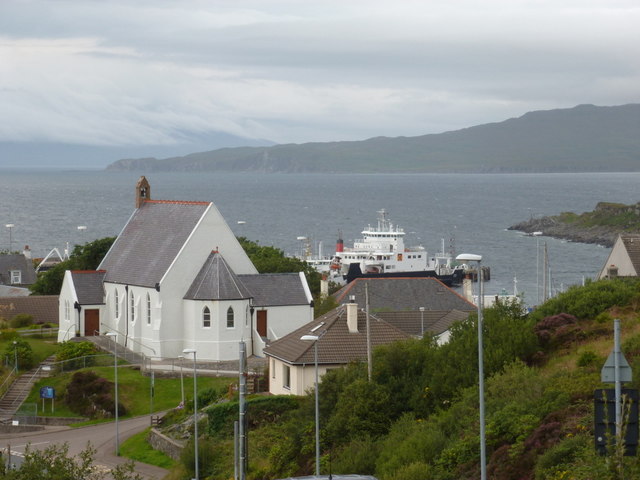
Image: © Chris Downer Taken: 5 Aug 2012
The B8008, formerly the main road makes its steeply up-and-down way into the village while the modern-day A830 takes a much more gentle route. This is the view from the top of one hill, across to the church on the top of the next. Beyond it, we see one of the island ferries in the harbour.
Images are licensed for reuse under creativecommons.org/licenses/by-sa/2.0
Image Location
Latitude
57.003383
Longitude
-5.829493