Portland Terrace, Church Lane, Ripple
Introduction
The photograph on this page of Portland Terrace, Church Lane, Ripple by John Baker as part of the Geograph project.
The Geograph project started in 2005 with the aim of publishing, organising and preserving representative images for every square kilometre of Great Britain, Ireland and the Isle of Man.

There are currently over 7.5m images from over 14,400 individuals and you can help contribute to the project by visiting https://www.geograph.org.uk
Portland Terrace, Church Lane, Ripple
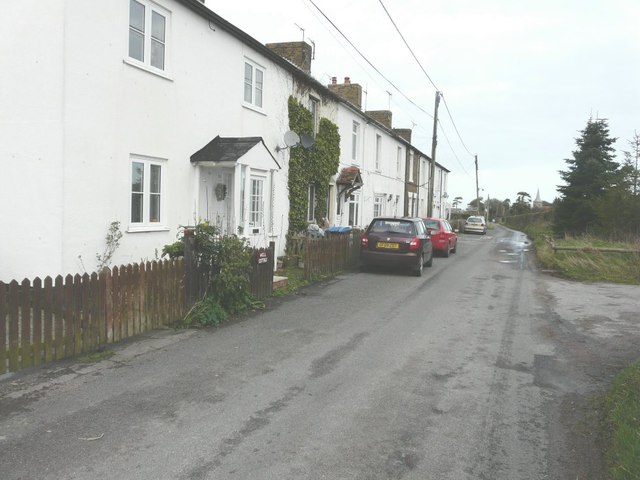
Image: © John Baker Taken: 30 Dec 2012
A terrace of ten dwellings, with the spire of St Mary the Virgin in Image in the distance.
Images are licensed for reuse under creativecommons.org/licenses/by-sa/2.0
Image Location
Latitude
51.200646
Longitude
1.360199