Hogmoor Road, Bordon
Introduction
The photograph on this page of Hogmoor Road, Bordon by Colin Smith as part of the Geograph project.
The Geograph project started in 2005 with the aim of publishing, organising and preserving representative images for every square kilometre of Great Britain, Ireland and the Isle of Man.

There are currently over 7.5m images from over 14,400 individuals and you can help contribute to the project by visiting https://www.geograph.org.uk
Hogmoor Road, Bordon
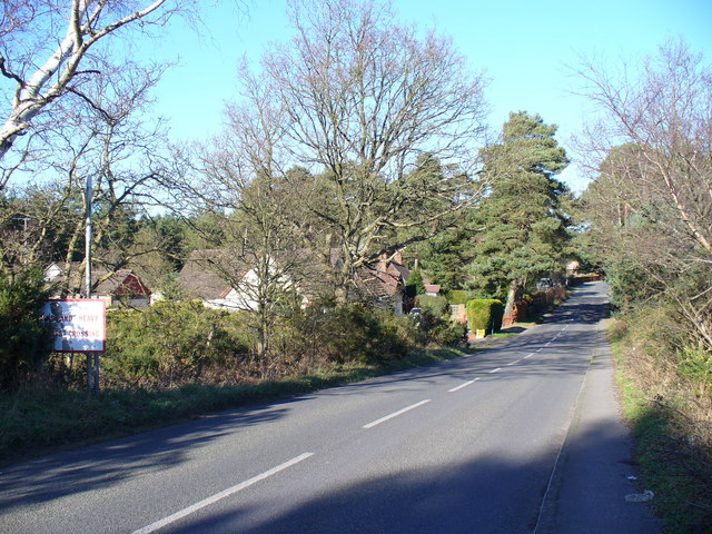
Image: © Colin Smith Taken: 3 Feb 2007
This long, straight road cuts across Bordon Camp. Note the sign on the left. It warns motorists of a "tank crossing" ahead. Other heavy vehicles would also use the track crossing the road.
Images are licensed for reuse under creativecommons.org/licenses/by-sa/2.0
Image Location
Latitude
51.113957
Longitude
-0.879071