Hythe Village Junction
Introduction
The photograph on this page of Hythe Village Junction by Gillian Thomas as part of the Geograph project.
The Geograph project started in 2005 with the aim of publishing, organising and preserving representative images for every square kilometre of Great Britain, Ireland and the Isle of Man.

There are currently over 7.5m images from over 14,400 individuals and you can help contribute to the project by visiting https://www.geograph.org.uk
Hythe Village Junction
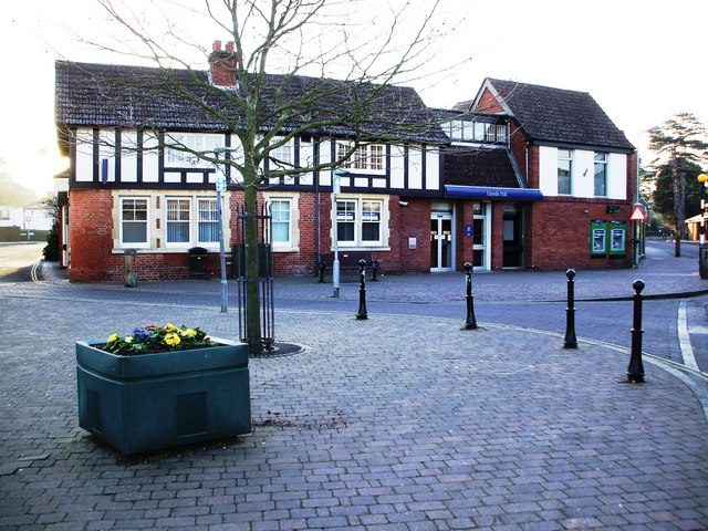
Image: © Gillian Thomas Taken: 4 Feb 2007
Go left for the High Street and St Johns Road and right for New Road
Images are licensed for reuse under creativecommons.org/licenses/by-sa/2.0
Image Location
Latitude
50.869055
Longitude
-1.398829