Below the dam, Coombe Wood pond
Introduction
The photograph on this page of Below the dam, Coombe Wood pond by John Myers as part of the Geograph project.
The Geograph project started in 2005 with the aim of publishing, organising and preserving representative images for every square kilometre of Great Britain, Ireland and the Isle of Man.

There are currently over 7.5m images from over 14,400 individuals and you can help contribute to the project by visiting https://www.geograph.org.uk
Below the dam, Coombe Wood pond
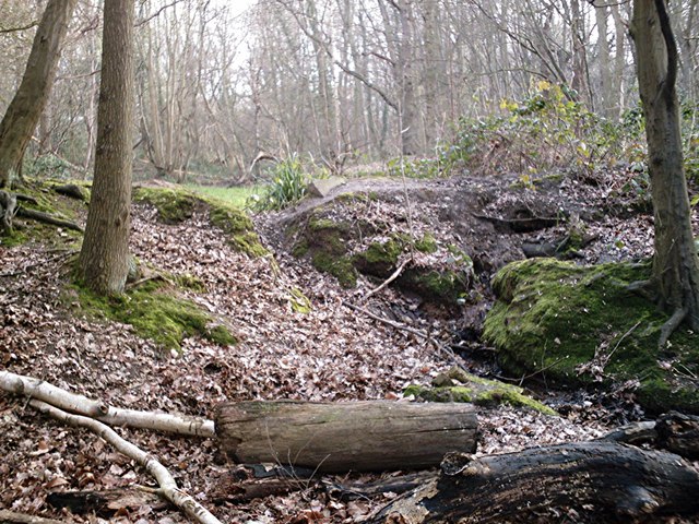
Image: © John Myers Taken: 4 Feb 2007
Breach in the dam which is about 1-1.5m high. Judging by the depth of the outflow channel a lot of water goes through here on occasion.
Images are licensed for reuse under creativecommons.org/licenses/by-sa/2.0
Image Location
Latitude
51.564167
Longitude
0.573341