Mid Devon : Countryside & Diptford Farm
Introduction
The photograph on this page of Mid Devon : Countryside & Diptford Farm by Lewis Clarke as part of the Geograph project.
The Geograph project started in 2005 with the aim of publishing, organising and preserving representative images for every square kilometre of Great Britain, Ireland and the Isle of Man.

There are currently over 7.5m images from over 14,400 individuals and you can help contribute to the project by visiting https://www.geograph.org.uk
Mid Devon : Countryside & Diptford Farm
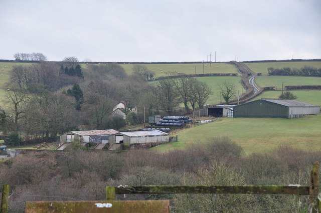
Image: © Lewis Clarke Taken: 7 Jan 2013
The countryside looking towards Diptford Farm which can be seen in view here.
Images are licensed for reuse under creativecommons.org/licenses/by-sa/2.0
Image Location
Latitude
50.949729
Longitude
-3.567733