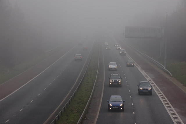
The M1 at Dunmurry near Belfast
Introduction
The photograph on this page of The M1 at Dunmurry near Belfast by Albert Bridge as part of the Geograph project.
The Geograph project started in 2005 with the aim of publishing, organising and preserving representative images for every square kilometre of Great Britain, Ireland and the Isle of Man.
There are currently over 7.5m images from over 14,400 individuals and you can help contribute to the project by visiting https://www.geograph.org.uk

Image: © Albert Bridge Taken: 4 Feb 2007
The section of M1 between Broadway (then known as (Celtic Park) and Lisburn opened in July 1962 (almost three years after the M1 between Watford and Rugby). It carries some 56,000 vehicles daily and is heavily congested during the morning peak which can last from about 7.45 to 9.30am. It was not quite so busy on this foggy Sunday afternoon. The view (from the Dunmurry Lane bridge) is towards Lisburn and Dungannon. Image shows a sunny high-summer view in July 2013.

