British National Tennis Centre
Introduction
The photograph on this page of British National Tennis Centre by David Anstiss as part of the Geograph project.
The Geograph project started in 2005 with the aim of publishing, organising and preserving representative images for every square kilometre of Great Britain, Ireland and the Isle of Man.

There are currently over 7.5m images from over 14,400 individuals and you can help contribute to the project by visiting https://www.geograph.org.uk
British National Tennis Centre
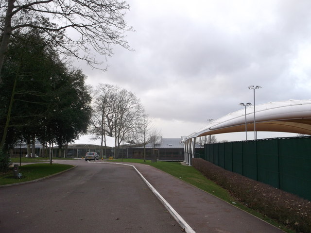
Image: © David Anstiss Taken: 30 Dec 2012
As seen from Priory Lane. It has 22 courts, player accommodation and a world-class sports science centre. This is also the home of the Lawn Tennis Association. See http://en.wikipedia.org/wiki/Lawn_Tennis_Association for more details on this sports body.
Images are licensed for reuse under creativecommons.org/licenses/by-sa/2.0
Image Location
Latitude
51.460591
Longitude
-0.252922