Lon Las Cymru between Abercynon and Cilfynydd
Introduction
The photograph on this page of Lon Las Cymru between Abercynon and Cilfynydd by John Light as part of the Geograph project.
The Geograph project started in 2005 with the aim of publishing, organising and preserving representative images for every square kilometre of Great Britain, Ireland and the Isle of Man.

There are currently over 7.5m images from over 14,400 individuals and you can help contribute to the project by visiting https://www.geograph.org.uk
Lon Las Cymru between Abercynon and Cilfynydd
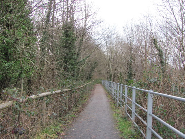
Image: © John Light Taken: 4 Jan 2013
Apparently the Taff Trail route follows the A4054 between Cilfynydd and Abercynon, but that seems silly as this relatively new stretch of cycle path is now available .
Images are licensed for reuse under creativecommons.org/licenses/by-sa/2.0
Image Location
Latitude
51.634517
Longitude
-3.326373