View to Farm Development and Beyond.
Introduction
The photograph on this page of View to Farm Development and Beyond. by Richard Williams as part of the Geograph project.
The Geograph project started in 2005 with the aim of publishing, organising and preserving representative images for every square kilometre of Great Britain, Ireland and the Isle of Man.

There are currently over 7.5m images from over 14,400 individuals and you can help contribute to the project by visiting https://www.geograph.org.uk
View to Farm Development and Beyond.
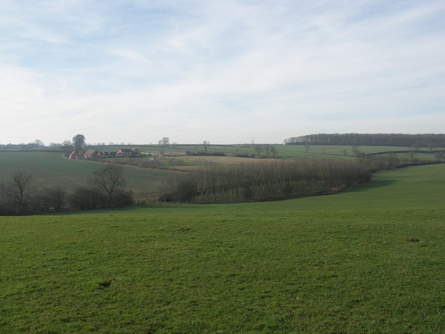
Image: © Richard Williams Taken: 4 Feb 2007
View across open farmland towards Long Hold Spinney (top right) and Naseby Covert (just visible top left). There are no footpaths in this area.
Images are licensed for reuse under creativecommons.org/licenses/by-sa/2.0
Image Location
Latitude
52.417722
Longitude
-0.978795