Field next to Fullers Gate
Introduction
The photograph on this page of Field next to Fullers Gate by Marcus Hargis as part of the Geograph project.
The Geograph project started in 2005 with the aim of publishing, organising and preserving representative images for every square kilometre of Great Britain, Ireland and the Isle of Man.

There are currently over 7.5m images from over 14,400 individuals and you can help contribute to the project by visiting https://www.geograph.org.uk
Field next to Fullers Gate
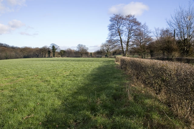
Image: © Marcus Hargis Taken: 2 Feb 2007
To the right, just over the hedge, is the road from Boots Green to Woodend Farm. To the left is woodland on the banks of the Peover Eye.
Images are licensed for reuse under creativecommons.org/licenses/by-sa/2.0
Image Location
Latitude
53.247836
Longitude
-2.348843