Balallan: a ruined house
Introduction
The photograph on this page of Balallan: a ruined house by Chris Downer as part of the Geograph project.
The Geograph project started in 2005 with the aim of publishing, organising and preserving representative images for every square kilometre of Great Britain, Ireland and the Isle of Man.

There are currently over 7.5m images from over 14,400 individuals and you can help contribute to the project by visiting https://www.geograph.org.uk
Balallan: a ruined house
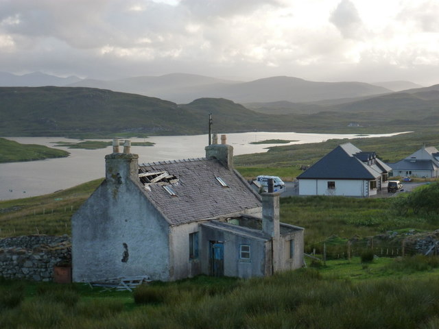
Image: © Chris Downer Taken: 16 Aug 2012
This forlorn house stands on the south side of the A859 in Balallan, with its back to Loch Èareasort.
Images are licensed for reuse under creativecommons.org/licenses/by-sa/2.0
Image Location


Leaflet Map data © OpenStreetMap
Latitude
58.091255
Longitude
-6.603732