Flood at the eastern end of Green Road, Weston
Introduction
The photograph on this page of Flood at the eastern end of Green Road, Weston by Bill Boaden as part of the Geograph project.
The Geograph project started in 2005 with the aim of publishing, organising and preserving representative images for every square kilometre of Great Britain, Ireland and the Isle of Man.

There are currently over 7.5m images from over 14,400 individuals and you can help contribute to the project by visiting https://www.geograph.org.uk
Flood at the eastern end of Green Road, Weston
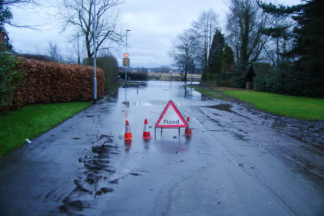
Image: © Bill Boaden Taken: 28 Dec 2012
Where Green Road joins the A51. There are other ways to the north, but options are more limited to the south.
Images are licensed for reuse under creativecommons.org/licenses/by-sa/2.0
Image Location


Leaflet Map data © OpenStreetMap
Latitude
52.83799
Longitude
-2.032765