Former bus turning circle, Bulwell Hall
Introduction
The photograph on this page of Former bus turning circle, Bulwell Hall by Richard Vince as part of the Geograph project.
The Geograph project started in 2005 with the aim of publishing, organising and preserving representative images for every square kilometre of Great Britain, Ireland and the Isle of Man.

There are currently over 7.5m images from over 14,400 individuals and you can help contribute to the project by visiting https://www.geograph.org.uk
Former bus turning circle, Bulwell Hall
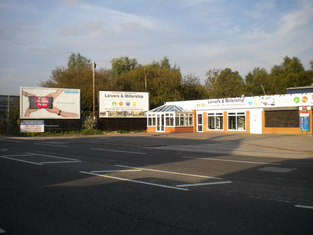
Image: © Richard Vince Taken: 15 Sep 2012
This turning circle, just inside the city boundary, was used by buses (those of a trolleybus variety for a period) on the Nottingham City Transport route to Bulwell Hall estate. However, by the time I first moved to Nottingham in 2003, buses terminating here turned using the roundabout a little way north of here, and there was no evidence of a bus stop in the turning circle. NCT buses ceased to terminate here in March 2004 when the Nottingham Express Transit tramway opened. For a picture taken from almost the same point, see Image
Images are licensed for reuse under creativecommons.org/licenses/by-sa/2.0
Image Location


Leaflet Map data © OpenStreetMap
Latitude
53.017704
Longitude
-1.187548