Andover -Flats
Introduction
The photograph on this page of Andover -Flats by Chris Talbot as part of the Geograph project.
The Geograph project started in 2005 with the aim of publishing, organising and preserving representative images for every square kilometre of Great Britain, Ireland and the Isle of Man.

There are currently over 7.5m images from over 14,400 individuals and you can help contribute to the project by visiting https://www.geograph.org.uk
Andover -Flats
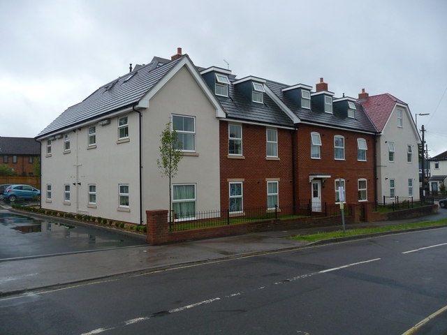
Image: © Chris Talbot Taken: 17 Jul 2011
These homes are built on the site that in the past stood the Merrie Monk and before that The Elephant public houses.
Images are licensed for reuse under creativecommons.org/licenses/by-sa/2.0
Image Location
Latitude
51.211224
Longitude
-1.47656