
Another 48 views
Introduction
The photograph on this page of Another 48 views by MDS as part of the Geograph project.
The Geograph project started in 2005 with the aim of publishing, organising and preserving representative images for every square kilometre of Great Britain, Ireland and the Isle of Man.

There are currently over 7.5m images from over 14,400 individuals and you can help contribute to the project by visiting https://www.geograph.org.uk
Another 48 views
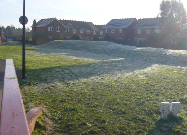
Image: © MDS Taken: 4 Feb 2007
Another 48 Views The excavated Mound, another Geologic View, “Bond Street” Bridge gantry. Piling head on, deep concrete section, mounds of spoil. Local residents took personal offence, hired a mate and his digger to grade down these, with great Noise early one Sunday. The balance Geotechnical and the opinion of the Local Government officers went up and down by soil physics. North the Levels flood to the rhyne, the slope has declined and slipped. A haven for cats and birds, insects, frost and children. More plane structures intersect many years later.
Images are licensed for reuse under creativecommons.org/licenses/by-sa/2.0
Image Location

Latitude
51.477806
Longitude
-2.757928