New Road joining the A51
Introduction
The photograph on this page of New Road joining the A51 by Bill Boaden as part of the Geograph project.
The Geograph project started in 2005 with the aim of publishing, organising and preserving representative images for every square kilometre of Great Britain, Ireland and the Isle of Man.

There are currently over 7.5m images from over 14,400 individuals and you can help contribute to the project by visiting https://www.geograph.org.uk
New Road joining the A51
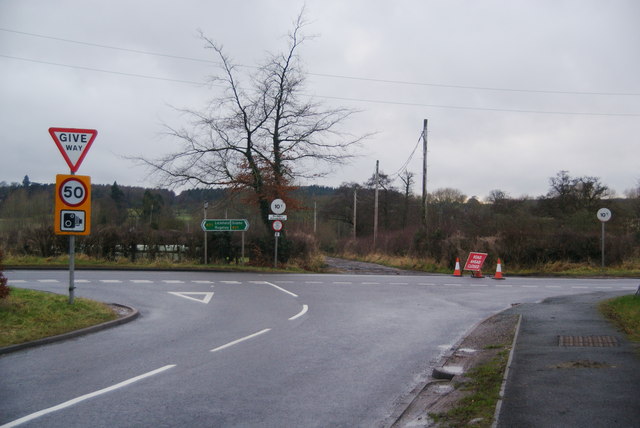
Image: © Bill Boaden Taken: 28 Dec 2012
The A51 to the right has road closure signs due to floods. The flood doesn't occur until Weston and most drivers were ignoring the signs.
Images are licensed for reuse under creativecommons.org/licenses/by-sa/2.0
Image Location


Leaflet Map data © OpenStreetMap
Latitude
52.828374
Longitude
-2.021775