Overlooking Freshfields Donkey Sanctuary
Introduction
The photograph on this page of Overlooking Freshfields Donkey Sanctuary by Jonathan Clitheroe as part of the Geograph project.
The Geograph project started in 2005 with the aim of publishing, organising and preserving representative images for every square kilometre of Great Britain, Ireland and the Isle of Man.

There are currently over 7.5m images from over 14,400 individuals and you can help contribute to the project by visiting https://www.geograph.org.uk
Overlooking Freshfields Donkey Sanctuary
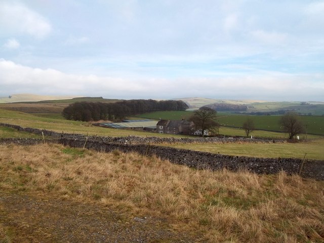
Image: © Jonathan Clitheroe Taken: 5 Jan 2013
Otherwise known as Lodesbarn, set in stunning White Peak countryside and viewed here from a byway near Dove Holes Quarry. The tale behind this marvellous project is heartwarming, with more than a sprinkling of star-quality involved but some trials and tribulations too, not least the donkeys having to up sticks and travel on foot to their current home after being evicted.
Images are licensed for reuse under creativecommons.org/licenses/by-sa/2.0
Image Location
Latitude
53.306418
Longitude
-1.856495