Hurst Road, Sidcup
Introduction
The photograph on this page of Hurst Road, Sidcup by David Howard as part of the Geograph project.
The Geograph project started in 2005 with the aim of publishing, organising and preserving representative images for every square kilometre of Great Britain, Ireland and the Isle of Man.

There are currently over 7.5m images from over 14,400 individuals and you can help contribute to the project by visiting https://www.geograph.org.uk
Hurst Road, Sidcup
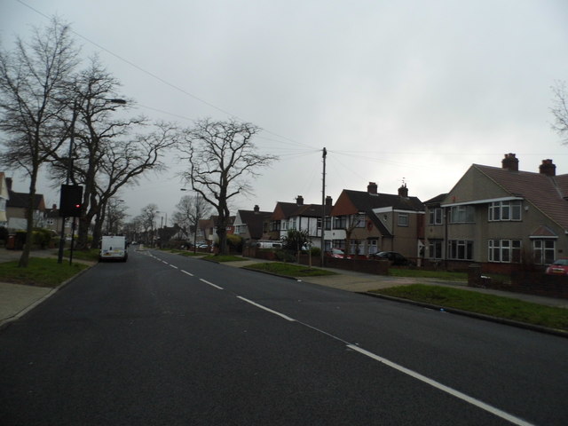
Image: © David Howard Taken: 6 Jan 2013
These houses along a trunk road are a typical ribbon development from the 1930s, when major roads were built between towns with semis along them sometimes for miles.
Images are licensed for reuse under creativecommons.org/licenses/by-sa/2.0
Image Location
Latitude
51.438317
Longitude
0.116445