Path to River Wandle, St George's Park
Introduction
The photograph on this page of Path to River Wandle, St George's Park by David Anstiss as part of the Geograph project.
The Geograph project started in 2005 with the aim of publishing, organising and preserving representative images for every square kilometre of Great Britain, Ireland and the Isle of Man.

There are currently over 7.5m images from over 14,400 individuals and you can help contribute to the project by visiting https://www.geograph.org.uk
Path to River Wandle, St George's Park
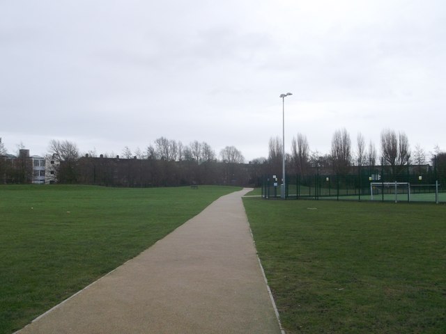
Image: © David Anstiss Taken: 30 Dec 2012
This path leads through the park from Burr Road towards the river and a footbridge leading to Garratt Lane. On the right is an enclosed football pitch.
Images are licensed for reuse under creativecommons.org/licenses/by-sa/2.0
Image Location
Latitude
51.446052
Longitude
-0.195483