Orpington rooftops
Introduction
The photograph on this page of Orpington rooftops by Ian Capper as part of the Geograph project.
The Geograph project started in 2005 with the aim of publishing, organising and preserving representative images for every square kilometre of Great Britain, Ireland and the Isle of Man.

There are currently over 7.5m images from over 14,400 individuals and you can help contribute to the project by visiting https://www.geograph.org.uk
Orpington rooftops
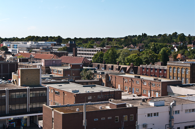
Image: © Ian Capper Taken: 5 Sep 2012
The rooftops of central Orpington as seen from the Walnuts carpark. Running from below centre right to above centre left is the line of the High Street, with the Post Office on the far right of the photo. In the left foreground is part of Walnuts Square.
Images are licensed for reuse under creativecommons.org/licenses/by-sa/2.0
Image Location
Latitude
51.376239
Longitude
0.099958