Farmland near the A5104
Introduction
The photograph on this page of Farmland near the A5104 by John S Turner as part of the Geograph project.
The Geograph project started in 2005 with the aim of publishing, organising and preserving representative images for every square kilometre of Great Britain, Ireland and the Isle of Man.

There are currently over 7.5m images from over 14,400 individuals and you can help contribute to the project by visiting https://www.geograph.org.uk
Farmland near the A5104
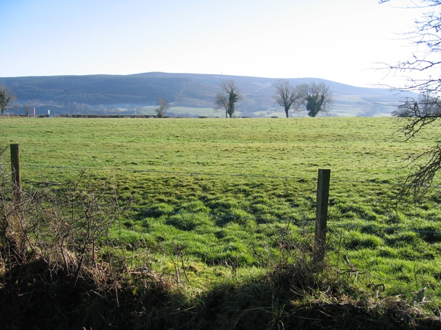
Image: © John S Turner Taken: 3 Feb 2007
Viewed from the minor road the farmland here is quite undulating, and the tree and hedge line on the other side of the field is the A5104. Across the valley, the dark mass of the Llandegla forest is seen on the left of the photo with the transmitter mast on Cyrn-y-Brain just about visible on the skyline.
Images are licensed for reuse under creativecommons.org/licenses/by-sa/2.0
Image Location
Latitude
53.047337
Longitude
-3.216293