Ebor and Centenary Ways
Introduction
The photograph on this page of Ebor and Centenary Ways by DAVID JOHN SHERLOCK as part of the Geograph project.
The Geograph project started in 2005 with the aim of publishing, organising and preserving representative images for every square kilometre of Great Britain, Ireland and the Isle of Man.

There are currently over 7.5m images from over 14,400 individuals and you can help contribute to the project by visiting https://www.geograph.org.uk
Ebor and Centenary Ways
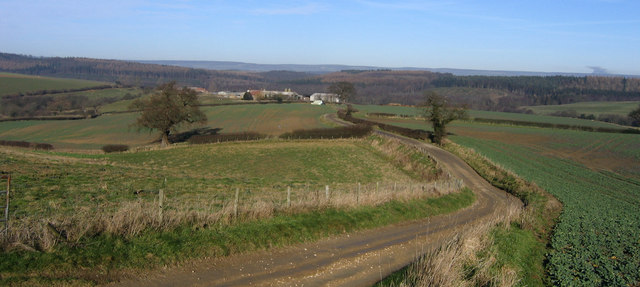
Image: © DAVID JOHN SHERLOCK Taken: 3 Feb 2007
The Ebor and Centenary Ways are long distance paths which share this track as they make their way towards Howthorpe Farm in the distance.
Images are licensed for reuse under creativecommons.org/licenses/by-sa/2.0
Image Location


Leaflet Map data © OpenStreetMap
Latitude
54.145041
Longitude
-0.964178