Taff Trail near Pontypridd
Introduction
The photograph on this page of Taff Trail near Pontypridd by John Light as part of the Geograph project.
The Geograph project started in 2005 with the aim of publishing, organising and preserving representative images for every square kilometre of Great Britain, Ireland and the Isle of Man.

There are currently over 7.5m images from over 14,400 individuals and you can help contribute to the project by visiting https://www.geograph.org.uk
Taff Trail near Pontypridd
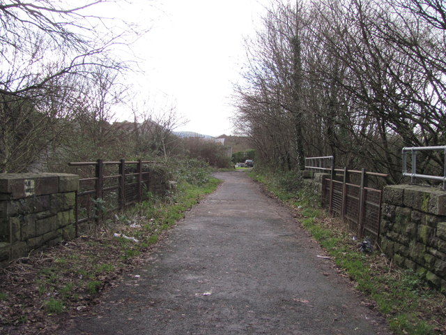
Image: © John Light Taken: 4 Jan 2013
An old railway bridge which used to carry the Pont Shon Norton Branch of the Taff Vale Railway. Now the Taff Trail uses this route. The trail turns left after the bridge and heads up towards Coedpenmaen Road.
Images are licensed for reuse under creativecommons.org/licenses/by-sa/2.0
Image Location
Latitude
51.612931
Longitude
-3.326898