Terrace, Mount Pleasant North, Robin Hood's Bay
Introduction
The photograph on this page of Terrace, Mount Pleasant North, Robin Hood's Bay by Derek Harper as part of the Geograph project.
The Geograph project started in 2005 with the aim of publishing, organising and preserving representative images for every square kilometre of Great Britain, Ireland and the Isle of Man.

There are currently over 7.5m images from over 14,400 individuals and you can help contribute to the project by visiting https://www.geograph.org.uk
Terrace, Mount Pleasant North, Robin Hood's Bay
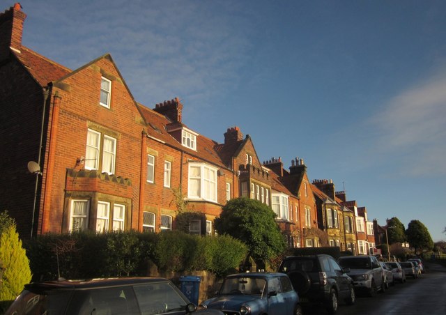
Image: © Derek Harper Taken: 1 Jan 2013
One of the Victorian roads that grew up near the station, now used by the Cleveland Way.
Images are licensed for reuse under creativecommons.org/licenses/by-sa/2.0
Image Location
Latitude
54.436287
Longitude
-0.53439