The Kensington Place construction site
Introduction
The photograph on this page of The Kensington Place construction site by Christine Johnstone as part of the Geograph project.
The Geograph project started in 2005 with the aim of publishing, organising and preserving representative images for every square kilometre of Great Britain, Ireland and the Isle of Man.

There are currently over 7.5m images from over 14,400 individuals and you can help contribute to the project by visiting https://www.geograph.org.uk
The Kensington Place construction site
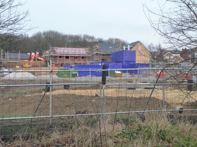
Image: © Christine Johnstone Taken: 5 Jan 2013
A new housing development south of Queen Street. Seen from the former colliery railway line.
Images are licensed for reuse under creativecommons.org/licenses/by-sa/2.0
Image Location


Leaflet Map data © OpenStreetMap
Latitude
53.7523
Longitude
-1.389253