Brockworth and Witcombe War Memorial
Introduction
The photograph on this page of Brockworth and Witcombe War Memorial by Philip Halling as part of the Geograph project.
The Geograph project started in 2005 with the aim of publishing, organising and preserving representative images for every square kilometre of Great Britain, Ireland and the Isle of Man.

There are currently over 7.5m images from over 14,400 individuals and you can help contribute to the project by visiting https://www.geograph.org.uk
Brockworth and Witcombe War Memorial
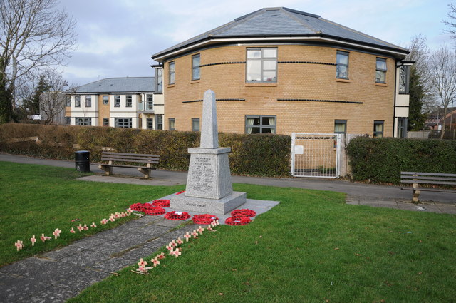
Image: © Philip Halling Taken: 5 Jan 2013
Brockworth and Witcombe war memorial with the Millbrook Lodge care home in the background. The care home has been built since Bob Embleton photographed this war memorial in 2006 Image]
Images are licensed for reuse under creativecommons.org/licenses/by-sa/2.0
Image Location
Latitude
51.847353
Longitude
-2.157025