Boardman's Heights Reservoir, Pike Lowe
Introduction
The photograph on this page of Boardman's Heights Reservoir, Pike Lowe by Rude Health as part of the Geograph project.
The Geograph project started in 2005 with the aim of publishing, organising and preserving representative images for every square kilometre of Great Britain, Ireland and the Isle of Man.

There are currently over 7.5m images from over 14,400 individuals and you can help contribute to the project by visiting https://www.geograph.org.uk
Boardman's Heights Reservoir, Pike Lowe
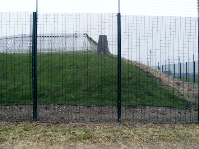
Image: © Rude Health Taken: 11 Feb 2012
Boardman's Heights Reservoiralso known as the hill Pike Lowe, 222 metres and a P56 hill with a rather well secured trig point.
Images are licensed for reuse under creativecommons.org/licenses/by-sa/2.0
Image Location
Latitude
53.694083
Longitude
-2.568333