Farmland near Bannockburn
Introduction
The photograph on this page of Farmland near Bannockburn by George Melvin Nugent as part of the Geograph project.
The Geograph project started in 2005 with the aim of publishing, organising and preserving representative images for every square kilometre of Great Britain, Ireland and the Isle of Man.

There are currently over 7.5m images from over 14,400 individuals and you can help contribute to the project by visiting https://www.geograph.org.uk
Farmland near Bannockburn
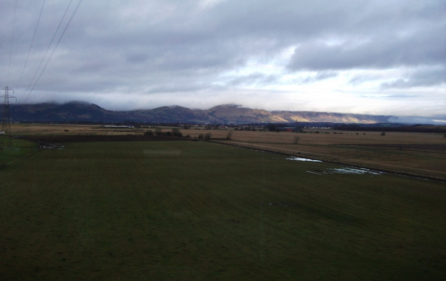
Image: © George Melvin Nugent Taken: 2 Jan 2013
The Ochil Hills can be seen in the distance. Taken from a train to Alloa.
Images are licensed for reuse under creativecommons.org/licenses/by-sa/2.0
Image Location
Latitude
56.093723
Longitude
-3.894233