Buildings at Robin Hood's Bay
Introduction
The photograph on this page of Buildings at Robin Hood's Bay by Derek Harper as part of the Geograph project.
The Geograph project started in 2005 with the aim of publishing, organising and preserving representative images for every square kilometre of Great Britain, Ireland and the Isle of Man.

There are currently over 7.5m images from over 14,400 individuals and you can help contribute to the project by visiting https://www.geograph.org.uk
Buildings at Robin Hood's Bay
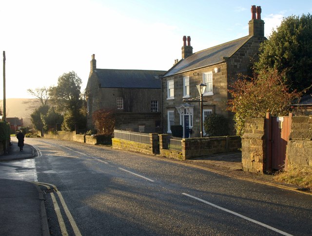
Image: © Derek Harper Taken: 1 Jan 2013
On Station Road, the B1447. On the right is North Ings, an C18 former farmhouse. Beyond is Jays House - see Image
Images are licensed for reuse under creativecommons.org/licenses/by-sa/2.0
Image Location
Latitude
54.434251
Longitude
-0.53693