The Ochil Hills from Bannockburn
Introduction
The photograph on this page of The Ochil Hills from Bannockburn by Thomas Nugent as part of the Geograph project.
The Geograph project started in 2005 with the aim of publishing, organising and preserving representative images for every square kilometre of Great Britain, Ireland and the Isle of Man.

There are currently over 7.5m images from over 14,400 individuals and you can help contribute to the project by visiting https://www.geograph.org.uk
The Ochil Hills from Bannockburn
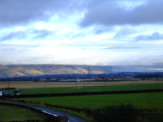
Image: © Thomas Nugent Taken: 2 Jan 2013
The tops of the hills are in the clouds. Viewed from a train heading north into Bannockburn.
Images are licensed for reuse under creativecommons.org/licenses/by-sa/2.0
Image Location
Latitude
56.09536
Longitude
-3.898815