Houses at Egton
Introduction
The photograph on this page of Houses at Egton by Derek Harper as part of the Geograph project.
The Geograph project started in 2005 with the aim of publishing, organising and preserving representative images for every square kilometre of Great Britain, Ireland and the Isle of Man.

There are currently over 7.5m images from over 14,400 individuals and you can help contribute to the project by visiting https://www.geograph.org.uk
Houses at Egton
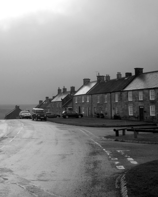
Image: © Derek Harper Taken: 30 Dec 2012
Black and white seemed appropriate for this gloomy weather. Most of these C19 cottages are listed http://list.english-heritage.org.uk/resultsingle.aspx?uid=1296150&searchtype=mapsearch .
Images are licensed for reuse under creativecommons.org/licenses/by-sa/2.0
Image Location
Latitude
54.447213
Longitude
-0.755311