Peniel Chapel
Introduction
The photograph on this page of Peniel Chapel by Jonathan Wilkins as part of the Geograph project.
The Geograph project started in 2005 with the aim of publishing, organising and preserving representative images for every square kilometre of Great Britain, Ireland and the Isle of Man.

There are currently over 7.5m images from over 14,400 individuals and you can help contribute to the project by visiting https://www.geograph.org.uk
Peniel Chapel
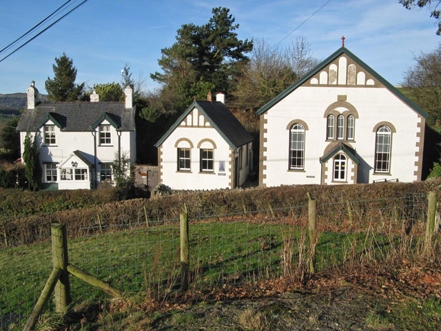
Image: © Jonathan Wilkins Taken: 4 Jan 2013
The chapel, schoolhouse and adjacent dwelling viewed from the field across the road. The stone above the window is inscribed simply "PENIEL 1888".
Images are licensed for reuse under creativecommons.org/licenses/by-sa/2.0
Image Location
Latitude
53.230207
Longitude
-3.791373