Glebe Farm
Introduction
The photograph on this page of Glebe Farm by Derek Harper as part of the Geograph project.
The Geograph project started in 2005 with the aim of publishing, organising and preserving representative images for every square kilometre of Great Britain, Ireland and the Isle of Man.

There are currently over 7.5m images from over 14,400 individuals and you can help contribute to the project by visiting https://www.geograph.org.uk
Glebe Farm
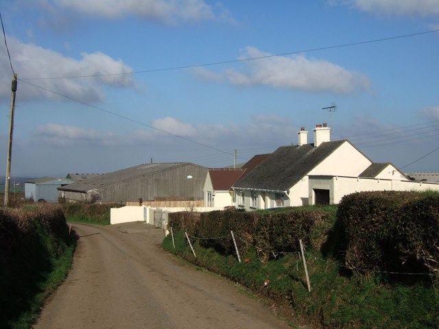
Image: © Derek Harper Taken: 3 Feb 2007
The only buildings in the square. It looks as though the original farmhouse has been replaced with this modern bungalow. On the lane between Folly Gate and Inwardleigh.
Images are licensed for reuse under creativecommons.org/licenses/by-sa/2.0
Image Location


Leaflet Map data © OpenStreetMap
Latitude
50.769652
Longitude
-4.030421