Thistle Grove
Introduction
The photograph on this page of Thistle Grove by Derek Harper as part of the Geograph project.
The Geograph project started in 2005 with the aim of publishing, organising and preserving representative images for every square kilometre of Great Britain, Ireland and the Isle of Man.

There are currently over 7.5m images from over 14,400 individuals and you can help contribute to the project by visiting https://www.geograph.org.uk
Thistle Grove
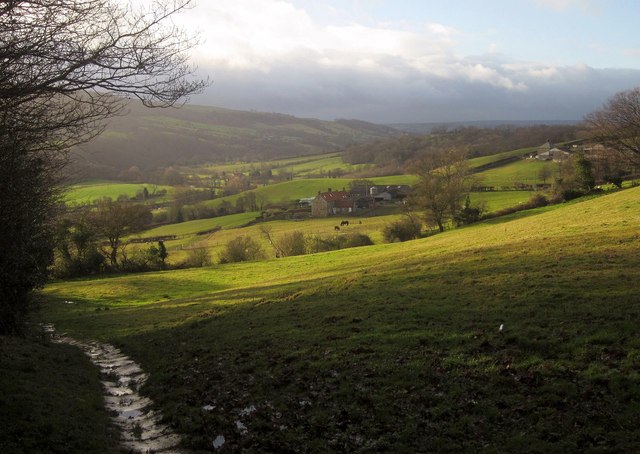
Image: © Derek Harper Taken: 30 Dec 2012
The red-roofed farmhouse across the fields is described at http://list.english-heritage.org.uk/resultsingle.aspx?uid=1148953&searchtype=mapsearch . The Esk Valley Walk follows bridleway 300002 along a stone trod in the foreground, later passing the farm on its way up the valley. Up on the right is Lodge Farm.
Images are licensed for reuse under creativecommons.org/licenses/by-sa/2.0
Image Location
Latitude
54.457447
Longitude
-0.678024