The turn to Stewardstone
Introduction
The photograph on this page of The turn to Stewardstone by Derek Harper as part of the Geograph project.
The Geograph project started in 2005 with the aim of publishing, organising and preserving representative images for every square kilometre of Great Britain, Ireland and the Isle of Man.

There are currently over 7.5m images from over 14,400 individuals and you can help contribute to the project by visiting https://www.geograph.org.uk
The turn to Stewardstone
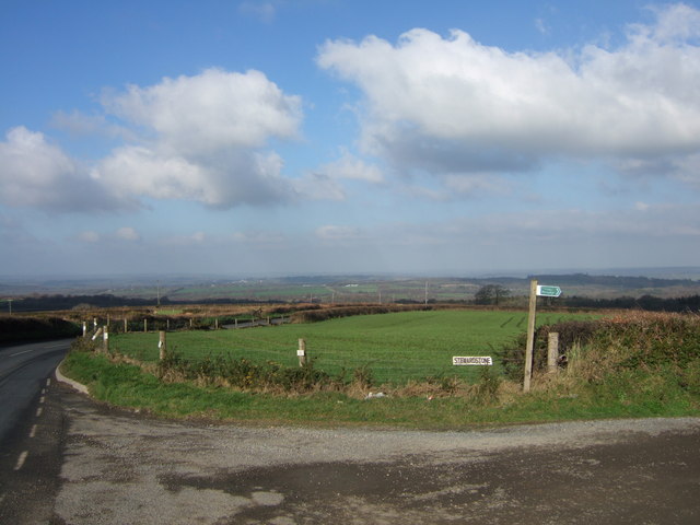
Image: © Derek Harper Taken: 3 Feb 2007
The start of the farm road to the two farms at Stewardstone, used by Inwardleigh Footpath 5. The A386 continues northwards towards Lamerton Cross.
Images are licensed for reuse under creativecommons.org/licenses/by-sa/2.0
Image Location
Latitude
50.768252
Longitude
-4.022986