Chiswick Cemetery
Introduction
The photograph on this page of Chiswick Cemetery by Dr Neil Clifton as part of the Geograph project.
The Geograph project started in 2005 with the aim of publishing, organising and preserving representative images for every square kilometre of Great Britain, Ireland and the Isle of Man.

There are currently over 7.5m images from over 14,400 individuals and you can help contribute to the project by visiting https://www.geograph.org.uk
Chiswick Cemetery
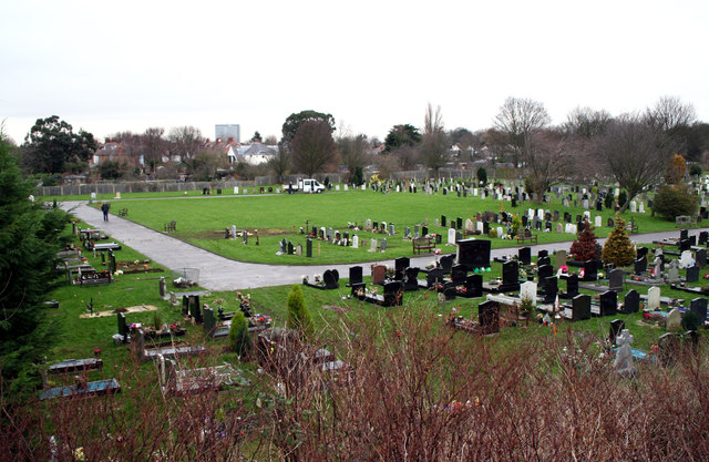
Image: © Dr Neil Clifton Taken: 3 Jan 2013
From Chiswick station, a very useful made path leads southeastwards, parallel to the railway on the north side, to join the Thames Path. Where this path passes under Great Chertsey Road (A316), a flight of steps leads up to the main road, and from these steps, a view of Chiswick Cemetery, as seen here, can be obtained.
Images are licensed for reuse under creativecommons.org/licenses/by-sa/2.0
Image Location
Latitude
51.478809
Longitude
-0.262595