Top of Wigman Road, Bilborough estate
Introduction
The photograph on this page of Top of Wigman Road, Bilborough estate by Richard Vince as part of the Geograph project.
The Geograph project started in 2005 with the aim of publishing, organising and preserving representative images for every square kilometre of Great Britain, Ireland and the Isle of Man.

There are currently over 7.5m images from over 14,400 individuals and you can help contribute to the project by visiting https://www.geograph.org.uk
Top of Wigman Road, Bilborough estate
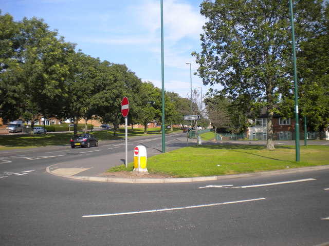
Image: © Richard Vince Taken: 15 Sep 2012
At its north end, the central reservation of Wigman Road widens to form a triangular junction with Strelley Road (left). This was done to enable buses serving the northern end of Bilborough estate to return to the city centre via Wigman Road, a manoeuvre that short workings of Nottingham City Transport service 35 still perform at certain times, particularly on Sundays and during late evenings.
Images are licensed for reuse under creativecommons.org/licenses/by-sa/2.0
Image Location
Latitude
52.972319
Longitude
-1.229946