Woodland by Chapel Lane, Chessetts Wood
Introduction
The photograph on this page of Woodland by Chapel Lane, Chessetts Wood by Robin Stott as part of the Geograph project.
The Geograph project started in 2005 with the aim of publishing, organising and preserving representative images for every square kilometre of Great Britain, Ireland and the Isle of Man.

There are currently over 7.5m images from over 14,400 individuals and you can help contribute to the project by visiting https://www.geograph.org.uk
Woodland by Chapel Lane, Chessetts Wood
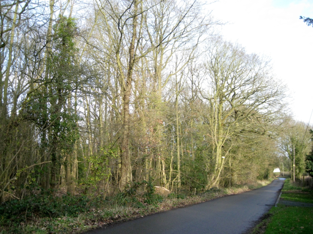
Image: © Robin Stott Taken: 3 Jan 2013
This is not an old wood, though there may once have been old woodland here. In 1887 it was probably pasture; there was a Wesleyan Methodist chapel at the far corner. The 1905 map shows an orchard, half cleared on the 1925 and subsequent maps, perhaps for a house and grounds. The 1962 map shows mixed trees and scrub. A dense understorey of holly is developing in the centre.
Images are licensed for reuse under creativecommons.org/licenses/by-sa/2.0
Image Location
Latitude
52.35861
Longitude
-1.725076