North Road
Introduction
The photograph on this page of North Road by Simon Carey as part of the Geograph project.
The Geograph project started in 2005 with the aim of publishing, organising and preserving representative images for every square kilometre of Great Britain, Ireland and the Isle of Man.

There are currently over 7.5m images from over 14,400 individuals and you can help contribute to the project by visiting https://www.geograph.org.uk
North Road
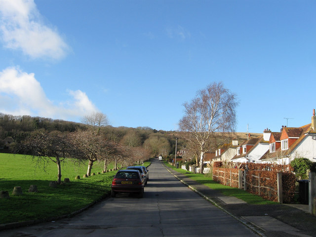
Image: © Simon Carey Taken: 1 Jan 2013
Residential road that runs from West Street and continues as a path beyond The broadway up Long Burgh. The road was laid out around the turn of the 20th century and had Image built on it in 1908 but was not developed fully until the houses on the right were completed in the 1950s. On the left is Image with its border provided by anti-tank buoys of which there are 116 in total lining both this road and The Furlongs.
Images are licensed for reuse under creativecommons.org/licenses/by-sa/2.0
Image Location
Latitude
50.81049
Longitude
0.150965