Edgehill, Cwmbran viewed from the far end
Introduction
The photograph on this page of Edgehill, Cwmbran viewed from the far end by Jaggery as part of the Geograph project.
The Geograph project started in 2005 with the aim of publishing, organising and preserving representative images for every square kilometre of Great Britain, Ireland and the Isle of Man.

There are currently over 7.5m images from over 14,400 individuals and you can help contribute to the project by visiting https://www.geograph.org.uk
Edgehill, Cwmbran viewed from the far end
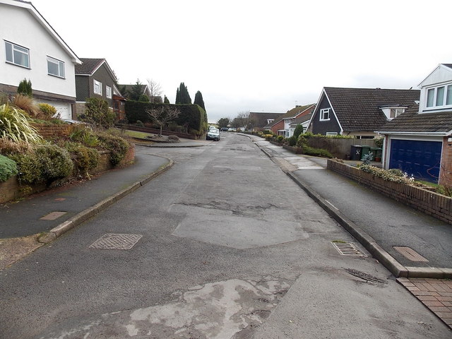
Image: © Jaggery Taken: 3 Jan 2013
Viewed from the end of the road http://www.geograph.org.uk/photo/3280616 in the cul-de-sac Edgehill. In the distance, the road bends to the left to connect with the B4236. http://www.geograph.org.uk/photo/3280613
Images are licensed for reuse under creativecommons.org/licenses/by-sa/2.0
Image Location
Latitude
51.641179
Longitude
-2.998662