The end of the road, Edgehill, Cwmbran
Introduction
The photograph on this page of The end of the road, Edgehill, Cwmbran by Jaggery as part of the Geograph project.
The Geograph project started in 2005 with the aim of publishing, organising and preserving representative images for every square kilometre of Great Britain, Ireland and the Isle of Man.

There are currently over 7.5m images from over 14,400 individuals and you can help contribute to the project by visiting https://www.geograph.org.uk
The end of the road, Edgehill, Cwmbran
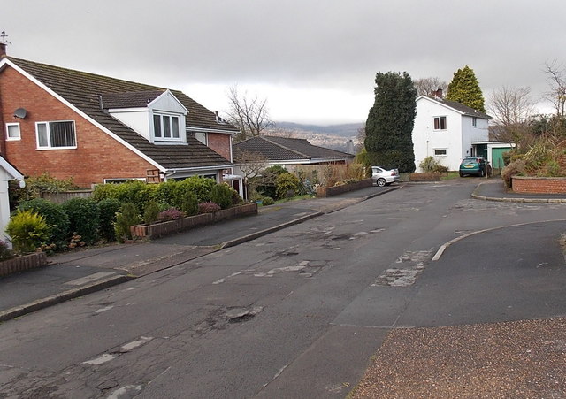
Image: © Jaggery Taken: 3 Jan 2013
The residential cul-de-sac Edgehill ends in front of the white house ahead. The opposite end of Edgehill connects with the B4236. http://www.geograph.org.uk/photo/3280613
Images are licensed for reuse under creativecommons.org/licenses/by-sa/2.0
Image Location
Latitude
51.642071
Longitude
-2.999548