Whatton Drive, West Bridgford
Introduction
The photograph on this page of Whatton Drive, West Bridgford by Richard Vince as part of the Geograph project.
The Geograph project started in 2005 with the aim of publishing, organising and preserving representative images for every square kilometre of Great Britain, Ireland and the Isle of Man.

There are currently over 7.5m images from over 14,400 individuals and you can help contribute to the project by visiting https://www.geograph.org.uk
Whatton Drive, West Bridgford
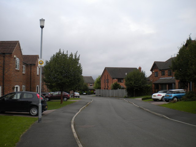
Image: © Richard Vince Taken: 1 Sep 2012
Nestled between Landmere Lane and the A52, just south of Compton Acres estate, this quite upmarket housing development is sufficiently recent not to appear on some scales of OS mapping at the time of posting.
Images are licensed for reuse under creativecommons.org/licenses/by-sa/2.0
Image Location
Latitude
52.912661
Longitude
-1.155163