The Garw Valley Community Route between Llangeinor and Tylagwyn
Introduction
The photograph on this page of The Garw Valley Community Route between Llangeinor and Tylagwyn by eswales as part of the Geograph project.
The Geograph project started in 2005 with the aim of publishing, organising and preserving representative images for every square kilometre of Great Britain, Ireland and the Isle of Man.

There are currently over 7.5m images from over 14,400 individuals and you can help contribute to the project by visiting https://www.geograph.org.uk
The Garw Valley Community Route between Llangeinor and Tylagwyn
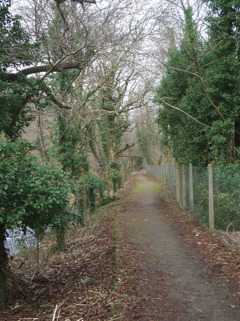
Image: © eswales Taken: Unknown
The Community Route – which is route 884 of the National Cycle Network – seen passing between ivy-clad trees in a densely-wooded area by the Afon Garw north of Llangeinor. The river lies just to the left (west) of the path here, whilst the Garw Valley Railway, which is not currently in use, lies just to the other side of the fence.
Images are licensed for reuse under creativecommons.org/licenses/by-sa/2.0
Image Location
Latitude
51.582907
Longitude
-3.570165