Horse near Goodmansleigh
Introduction
The photograph on this page of Horse near Goodmansleigh by Tony Atkin as part of the Geograph project.
The Geograph project started in 2005 with the aim of publishing, organising and preserving representative images for every square kilometre of Great Britain, Ireland and the Isle of Man.

There are currently over 7.5m images from over 14,400 individuals and you can help contribute to the project by visiting https://www.geograph.org.uk
Horse near Goodmansleigh
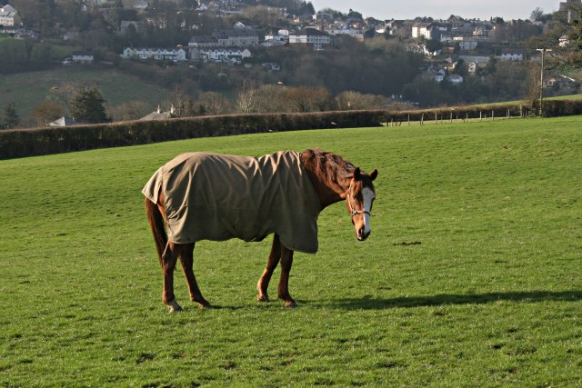
Image: © Tony Atkin Taken: 3 Feb 2007
An increasingly common use for agricultural land on the urban fringe is for pasturing horses. In the background of this photo, across the valley, are the buildings of Launceston.
Images are licensed for reuse under creativecommons.org/licenses/by-sa/2.0
Image Location


Leaflet Map data © OpenStreetMap
Latitude
50.642839
Longitude
-4.346311