Glenburn Drive, Inverness
Introduction
The photograph on this page of Glenburn Drive, Inverness by Richard Dorrell as part of the Geograph project.
The Geograph project started in 2005 with the aim of publishing, organising and preserving representative images for every square kilometre of Great Britain, Ireland and the Isle of Man.

There are currently over 7.5m images from over 14,400 individuals and you can help contribute to the project by visiting https://www.geograph.org.uk
Glenburn Drive, Inverness
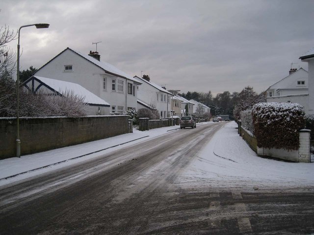
Image: © Richard Dorrell Taken: 14 Dec 2012
A residential street in suburban Inverness. Glenburn Drive forms a loop, so both the roads visible have the same name. The light snowfall had occurred the previous evening.
Images are licensed for reuse under creativecommons.org/licenses/by-sa/2.0
Image Location
Latitude
57.464934
Longitude
-4.22292