Rosemary Lane, Wibdon
Introduction
The photograph on this page of Rosemary Lane, Wibdon by Jaggery as part of the Geograph project.
The Geograph project started in 2005 with the aim of publishing, organising and preserving representative images for every square kilometre of Great Britain, Ireland and the Isle of Man.

There are currently over 7.5m images from over 14,400 individuals and you can help contribute to the project by visiting https://www.geograph.org.uk
Rosemary Lane, Wibdon
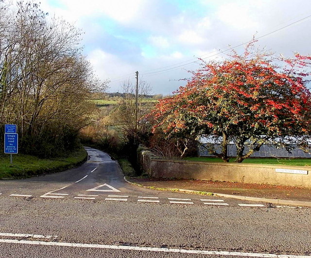
Image: © Jaggery Taken: 1 Jan 2013
Viewed across the A48. The blue signs on the left state that Rosemary Lane is a single track road, unsuitable for heavy goods vehicles. There are no passing places for 1 mile ahead.
Images are licensed for reuse under creativecommons.org/licenses/by-sa/2.0
Image Location
Latitude
51.673801
Longitude
-2.623812